Marine Surveying Software HyNav
Marine Surveying Software HyNav
Product features: marine surveying software, construction positioning software
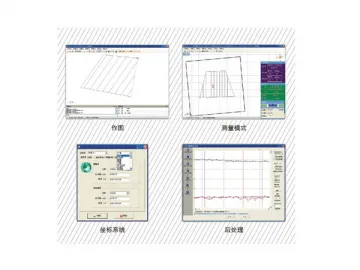
HyNav marine surveying software is a brand new series of marine surveying and construction positioning software presented by Hi-Target. These software uses the latest development platform, covering all coordinates systems and projection methods in the world, adapting to the global market; Three kinds of sailing record model and several plan mapping ways can meet the demands of ocean engineering.
HyNav marine surveying software widely apply to river and ocean survey, dredging, piling, reef explosion and lay pipelines, which is a breakthrough in the industry software.
6 innovations
1、Customizable display interface
2、Covering all coordinates systems and projection methods in the world
3、AutoCAD model drawing function
4、Layer manage all graphs
5、Support graphics rotation and background moving survey navigation
6、Support various models’ depth sampling and multi-station amendment
Hi-Target is a manufacturer of marine surveying software hynav in China; our products include marine surveying software hynav, GIS surveyor for electric power and RTK system. We offer high-quality products at competitive price. Our company is based in China, and our full chain of manufacturing VF echo sounder, GIS data collection solution and handset data collector can be completed in China, even in one city. Lower manufacturing cost saves your purchasing cost. More details of each product are shown on the corresponding page with description.
Links:https://globefindpro.com/products/110235.html
-
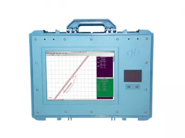 VF Echo Sounder (HD-370 Digital, HD-380 Dual Type)
-
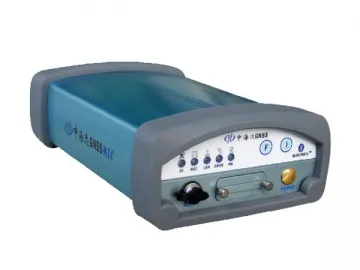 K10 Dual Frequency RTK (Split Type)
-
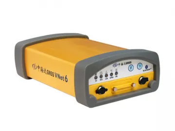 VNet 6 GNSS Reference Station
-
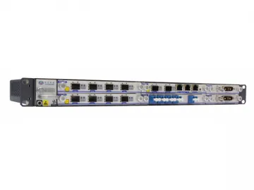 Portable PON Optical Power Meter
-
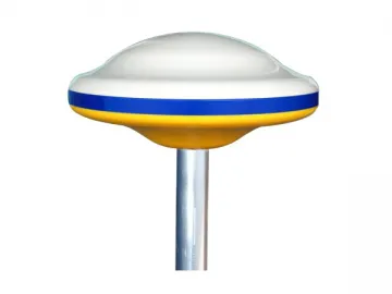 K2 SBAS Receiver
-
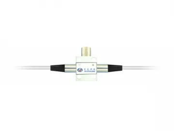 Manual Variable Optical Attenuator
-
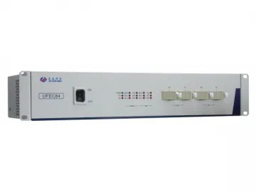 Optical Power Meter
-
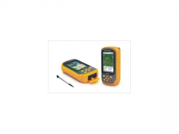 QMINI GIS Data Collection Solution (Handset Data Collector)
-
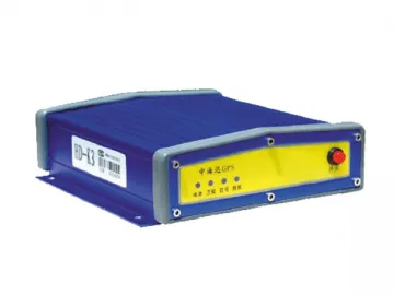 K3 Marine Beacon (Split Type)
-
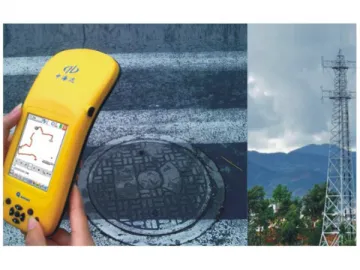 GIS Surveyor for Communication
-
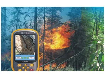 GIS Forest Surveyor
-
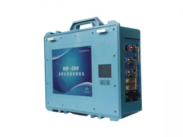 Multi-Transducer Echo Sounder, HD-390
