GIS Forest Surveyor
GIS ForestSurveyor
Applicationin forestry work
When appliedto forestry work, GPS can get accurate location data of point, line and surfacewith high-speed and high-efficiency. With professional GIS data collector, thiskind of GPS products can make a standardized work flow; collect and updateattribute data and realize seamless connection with GIS system data via thedata dictionary of the open software.
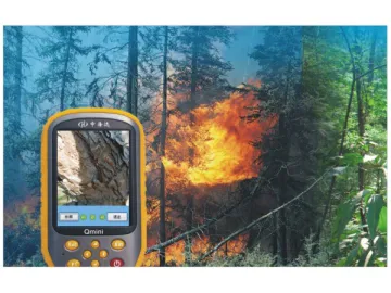
In forest survey and resource management, GPS with professional GIS datacollector is needed to promote the quality and efficiency of the work likeforest area measurement, forest sample plot initiation and reset, silviculture planning and design, cutting area survey anddesign, forest resources assessment, manufacture of forest thematic map, forestfireproofing, forest insect pest prevention, protection of wild plants andanimals and forest right management.
The advantages of the hardware of Q series in forestry work
With the professional GPS chips and algorithmictechniques, the Q series guarantee the high degree of accuracy and reliabilityof the location data. And the professional high sensitive anti-jamming antennasof the Q series promote the signal locking ability of the GPS so that theyguarantee normal operation under complex conditions in forest.
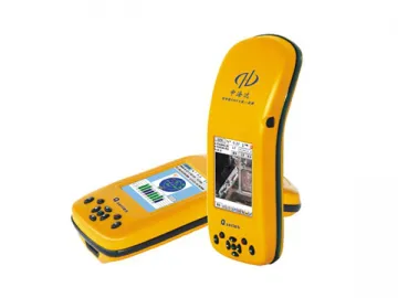
The integrated three-proofing design makes it convenient and strong; 3.5-inchcolor screen makes browsing clearer; Integrated 3G wireless communicationsrealize real-time data transmission and monitoring; Integrated digital cameraenables it to take pictures on the scene; Large capacity Li-ion battery canmeet the demand of long time continuous working.
The advantages of the software of the Q series in forestry work
With Windows CE or Mobile open operating system of, users can customize thesoftware according to his or her own needs of which the data collection flowmeets this industry standard.
The Q series Hi-Q data collection software has fast image data processingability. It can import forestry digital map (grid or vector) as base map forinvestigation, positioning and navigating the collection point, fulfill thetasks of high accuracy point line and plane data collection, screen spotoutline drawing and property data input of investigation forms, thus raisingthe work efficiency.
Field data collection takes advantage of planned standard form to automaticallyfill the conventional property data or use pull-down menu default, in order toincrease efficiency and avoid error and omissions.
Field collected data can be imported to all common GIS software system withoutconfliction. And Hi-target Hi-Q data process software can conveniently enableyou to browse, edit, analyze and output the collected data.
Hi-Targetis a manufacturer of GIS forest surveyor in China; our products include GIS forest surveyor,portable echo sounder and RTK system. We offer high-quality products at competitive price. Our company is based in China, and our full chain of manufacturingmarine instrument and integratedintelligent static GPS can be completed inChina, even in one city. Lower manufacturing cost saves your purchasing cost. More details of each product areshown on the corresponding page with description.
Links:https://globefindpro.com/products/110229.html
-
 GIS Surveyor for Communication
-
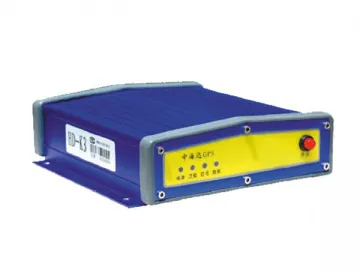 K3 Marine Beacon (Split Type)
-
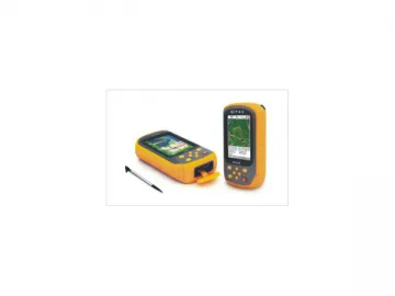 QMINI GIS Data Collection Solution (Handset Data Collector)
-
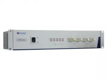 Optical Power Meter
-
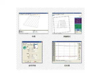 Marine Surveying Software HyNav
-
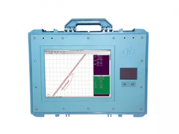 VF Echo Sounder (HD-370 Digital, HD-380 Dual Type)
-
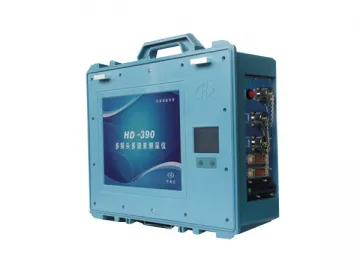 Multi-Transducer Echo Sounder, HD-390
-
 Armoured Optical Fiber Jumper, Connector
-
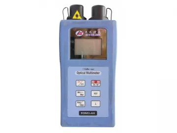 Portable Optical Multimeter
-
 ASE Broadband Light Source
-
 Q5 GIS Data Collection Solution (Handset Data Collector)
-
 Benchtop Digital Variable Optical Attenuator

