Q5 GIS Data Collection Solution (Handset Data Collector)
Q5 GIS Data Collection Solution (Handset Data Collector)
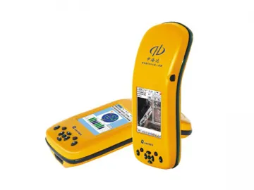
Q5 is in industrial level integrated design with the combination of GPS, Windows Operating System, digital camera, microphone, 3G communication, Bluetooth communication, large storage memory, USB/RS232 port and SD card extension, which makes it the most powerful professional GIS data collector in the world. It can meet your diversified requirements in complex environments.
Adopting the high-accuracy GNSS application surveying GPS technology, cooperated by professional anti-jamming GPS antenna and current system hardware configuration, Q5 GIS data collector is capable of serving you higher accuracy, faster speed and better stability.
Q5 provides comprehensive GIS data collector application software which is seamlessly compatible with all main GIS software platform nowadays. Meanwhile, in order to satisfy your individual application requirements, we are ready to customize various industrial application functions in shortest time for you.
Technical specification
High-Class System configuration
WINCE5.0 System
530MHz High Speed ARM920T Processor
128M Large Capacity Storage Memory
3.5 Inch Expert Outdoor Color Touch Screen
Professional GPSFunctionality
Adopt International High Precision Surveying GPS Mainboard
Internal High Sensitivity Interference Resistant GPS Antenna
Accuracy: Single Positioning: 2.5M
SBAS: 1M
Real TimeDifference: 0.3M
Post-ProcessingDifference: 0.3M
Static survey: ±5mm 1ppm
Convenient WirelessCommunication
Internal GPRS communication module, achieving GPS long distance datatransmission
INTERNAL Bluetooth, for convenient wireless data transmission
With Bluetooth technology,wireless connects to range finder and Beaconing instrument for data collecting
Visible Data Image
Internal high definitioncamera, able to add image attribute information for collecting on site
Automatically match GPS coordinates and image attribute information
Internal microphone, use real time voice information for markingattribute
Mature Reference StationTechnology
Provide comprehensive reference station solution, including HD-CORS,single reference station and post-difference base station.
Powerful reference station monitor management software, for realtime monitoring GIS mobile terminal.
Real time information mutualtransmission between monitor center and Mobile terminal by GPRS communication
Comprehensive SoftwareSolution
Hi-QData Collection Software
Graphical software interface, easy to learn and simple operation
Convenient data dictionary edition functionality, for inputtingelements and kinds of attributes in advance, and for field real time edition
Provide various position data and attribute information collectionmethods, such as manual collection, automatic collection, public pointcollection, offset collection, manual inputting and menu selection.
Input image and vector graph in various format
Convenient calculation on length, distance and area
Able to real time uptime data to server software on site, achievereal time management by monitoring center
Provide various work modes for your selection: SBAS, real timedifference, post processing and static survey etc.
Mutual international coordinates system conversion
Hi-NetServer Software
More efficient data dictionary establishing and editing function
Graphic scan function for large volume vector, supporting basicgraphic operation
Providing powerful graphic image data matching and pretreatmentfunction
Data convert port, supporting multi-format including: shp, mif, dxf,txt, and csv
GPS post-processing software with powerful functionality , solvingstatic and post-difference data
Hi-Target is a manufacturer of GIS data collection solution and handset data collector in China; Our products include GIS data collection solution, handset data collector, GNSS RTK system and reference station system, and we offer high-quality products at competitive price. Our company is based in China, and our full chain of manufacturing integrated intelligent static GPS and system project can be completed in China, even in one city. Lower manufacturing cost saves your purchasing cost. More details of each product are shown on the corresponding page with description.
Links:https://globefindpro.com/products/110223.html
-
 ASE Broadband Light Source
-
 Portable Optical Multimeter
-
 Armoured Optical Fiber Jumper, Connector
-
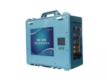 Multi-Transducer Echo Sounder, HD-390
-
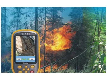 GIS Forest Surveyor
-
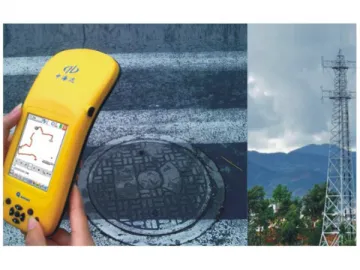 GIS Surveyor for Communication
-
 Benchtop Digital Variable Optical Attenuator
-
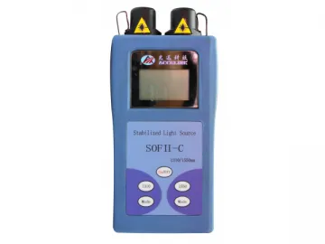 Optical Light Source
-
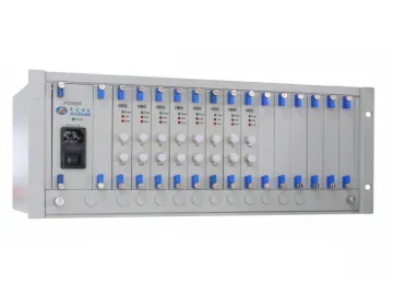 Flat Top Tunable Optical Filter
-
 GIS Surveyor for Electric Power
-
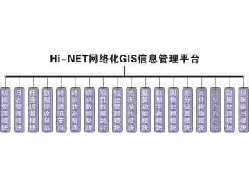 GIS Network Management System
-
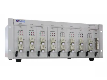 Optical Fiber Adaptor / Optical Fiber Converter
