GIS Water Surveyor
GIS WaterSurveyor
Hardware advantages in water survey
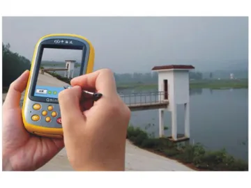
Hi-Target Q series products have all adoptedprofessional GPS chips and algorithmic technique in order to guarantee highaccuracy and reliability of the coordinates. They have also adoptedprofessional high sensitive anti-jamming antenna to improve the locking abilityof the satellite symbols so as to guarantee normal operation in various complexcircumstances.
Q series products all adopt integrated three-proofingdesign which makes it convenient and strong; Integrated 3G wirelesscommunications realize real-time data transmission and monitoring; Integrated digital camera enables it to take pictures on thescene; Large capacity Li-ion battery can meet the demand of long timecontinuous working.
Software advantages in water survey
“The First National Water Survey” involves thebasic situations of rivers and lakes, water conservancy projects, water thatuses in economic society, preservation and restorationof rivers and lakes, water and soil conservation, water conservancy building,etc. Each of those surveys involves a large amount of data and difficult tasksof filling forms, dealing with data and data summaries.
Based on professional design of GIS data collection application, Hi-Target Hi-QGIS data collection software can edit standardized data dictionaries andcustomize uniform water survey data collection flow according to therequirements of water survey. And via the data dictionaries, while collecting dataof points, lines and surfaces, it can directly generate the forms which measureup to a given standard with a shortcut entry of the attributes ofquestionnaires in the field. Moreover, Hi-Q software has high-speed image dataprocessing ability so that it can import digital water map (grid or vector) asbase map for drawings of points, lines and planes as well as navigating to the targetpoint.
Hi-Target Hi-Q Tools software has a strong GIS data processing ability. Afterleading in the water survey data in the field, it can quickly complete theinquiry of survey data, editing and statistical analysis. And users cancustomize various outputting reports according to requirement of water survey.
Hi-Target Qseries integrated Hi-Q PPP software has adopted advanced precision pointpositioning. And with SBAS signal, the accuracy and reliability of GPSpositioning can be improved. However, even without any differential correctiondata, high accuracy GPS point positioning can also be realized which is verysuitable to tasks of water survey in a national level.
Providing integrated methods of water-depth measurement
As the “expert of water-depth measurement” inChina, Hi-Target products can provide advanced methods of water-depthmeasurement in this industry, including V series GNSS, Q series GIS datacollectors, HD series digital depth finders, Hy-Navmarine surveying software and Hy-Map marine imagegenerating software.
Hi-Target Q series GIS data collector can cooperate with digital depth findersthrough Bluetooth or series ports. By the installation of Hi-Sea water depthmapping software, you can set the water depth mapping and make plansconveniently, and depth data can be automatically saved according to time ordistance.
Hi-Targetis a manufacturerof GIS watersurveyor in China; our products include GIS water surveyor, marinepositioning products and RTK system. We offer high-quality products atcompetitive price. Our company is based in China, and our fullchain of manufacturing SBAS receiver and static GPS canbe completed in China, even in one city. Lower manufacturing cost saves yourpurchasing cost. More details of each product are shown on the corresponding pagewith description.
Links:https://globefindpro.com/products/110214.html
-
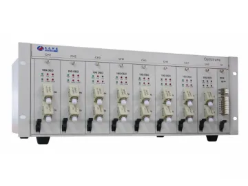 Optical Fiber Adaptor / Optical Fiber Converter
-
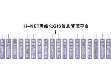 GIS Network Management System
-
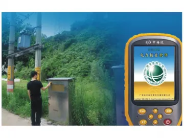 GIS Surveyor for Electric Power
-
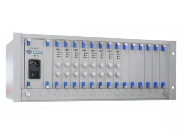 Flat Top Tunable Optical Filter
-
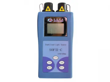 Optical Light Source
-
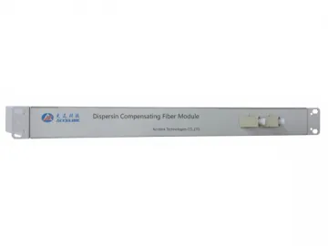 Benchtop Digital Variable Optical Attenuator
-
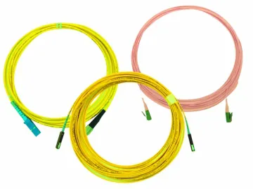 Optical Fiber Jumper, Connector
-
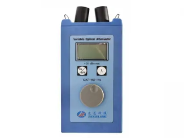 Portable Variable Optical Attenuator
-
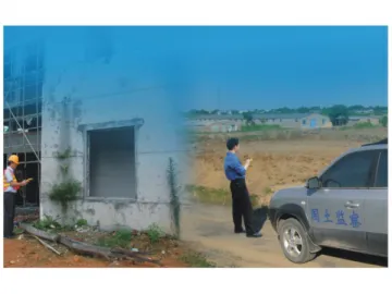 GIS Land Surveyor
-
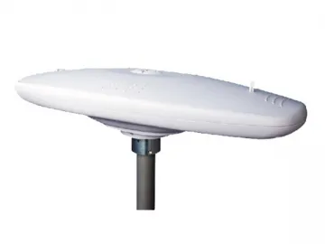 K7 Marine Location and Orientation Instrument (Integrated Type)
-
 Thermo Blister Machine (DPB-250R)
-
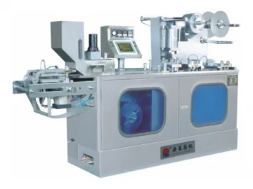 Servo Blister Packing Machine (DPB-140C)
